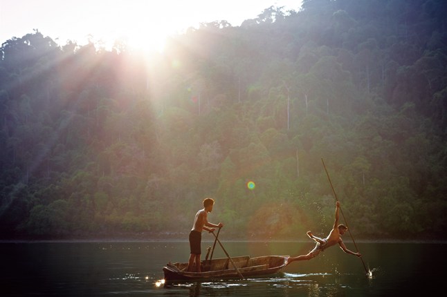
 The Mergui – or Myeik as it was called on the Admiralty map I consulted (chart 216, WGS84, in case you’re interested) – is a collection of islands, some miles long, others no more than jagged rocks. All of them are covered with jungle, many fringed with white-sand beaches and none of them have names you will have heard of. Not yet, at least. But you will soon, for this is the stuff of legend: an entire archipelago in the process of being ‘discovered’.
Kawthaung, where we started, is about as unprepossessing as a beginning can be. A sign at the airport encourages people to ‘warmly welcome and take care of tourists’, but this is the sort of place that doesn’t expect to see you again and acts accordingly. A crowd of Burmese, monks among them, was queuing to get onto a long, low ferry for a festival that I was told we could not attend (there is still a sense of closure about the islands), and a smattering of day-trippers over from Thailand were hanging about, waiting to renew their tourist visas. We were soon out of dock, down the Pakchan River and out to sea. It was there that I learned why it is often called ‘the deep blue’ – it was suddenly deep and so blue it was almost black.
From CNN Traveller with image by David Eustace. Continue reading here: The Islands Of Burma